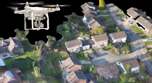
Hi! I'm a dedicated and curious Geomatics Engineering student with a strong interest in geospatial technologies, including GIS, Remote Sensing, Photogrammetry, Web Mapping and Land Surveying. I'm passionate about exploring how spatial data can be used to better understand and manage the world around us.
Download CV
Throughout my academic journey, I’ve gained hands-on experience with tools like QGIS, ArcGIS, Pix4D, and PostgreSQL/PostGIS. I’ve worked on various projects involving topographic mapping, land use and land cover analysis, and drone-based data processing. These experiences have deepened my interest in spatial analysis, cartography, and field-based surveying work. I enjoy learning new methods and technologies that enhance geospatial decision-making and bring real-world value to communities and environments.
Created 3D visualization of animal passage structures
Download Report
GIS-based multicriteria analysis for renewable energy sites
Download Report
Pix4D processing of UAV imagery for contour generation
Download Report
Network analysis to determine optimal routes with PostgreSQL
Download Report
Temporal analysis of land use and land cover transformation
Download Report
Compared accuracy of DEM interpolation techniques
Download Report